
Ile Espagne – named after
the highly regarded General d’Espagne who
was killed commanding the French 3rd Heavy Cavalry Division
at Aspern-Essling – lay closer to Lobau Island than Ile du Moulin and was
occupied sooner by the French. According to Scotty Bowden and Charles
Tarbox’s map in Rothenberg’s Napoleon’s Great Adversary (see 1809 Reference)
some bridging had already taken place as early as 8.30 am on the 22 May.
According to the map, Ile Espagne was also lined with fieldworks at this time.
This all seemed somewhat surprising so soon in the conflict when resources
were extremely limited and every effort had to be put into repairing the all-
important damaged bridges over to Lobau Island.
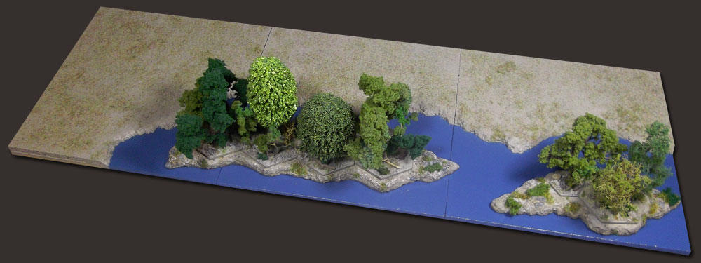
The islets on the Stadtler
Arm were, like Lobau
Island, mostly covered in
brush and woodland.
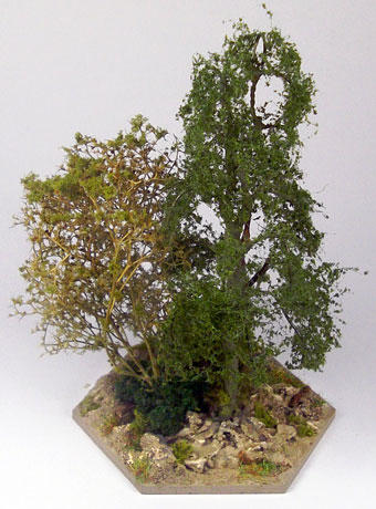
The tree bases that
featured in Post 64 were
made specially as four
tree bases for my model
of Ile du Moulin. For Ile
Espagne, I needed
another tree base. I put
together one more, this
time using a Hornby
Skale Scenics birch tree
and a sea moss stem
sprinkled with fine foam
flock.
Ile Espagne

© Bowden and Tarbox


POST 148
148